
The Blog

Why Is It Called The Gambia? The Story Behind One of Africa’s Most Unusual Country Names
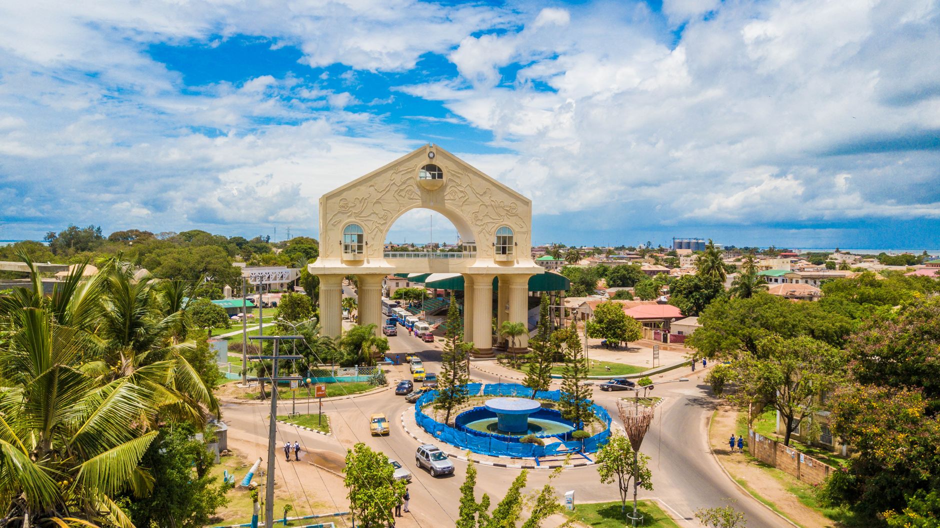
Why is it called The Gambia? It sounds like one of those questions with a very simple answer. And, technically, it is: the country takes its name from the Gambia River. But then you look at a map, notice that The Gambia is basically a very long, very skinny country wrapped on three sides by Senegal, and suddenly there are several more questions.
When I travelled through The Gambia, I heard an explanation for its bizarre shape that has stuck with me ever since. Legend has it that the British sailed ships along the Gambia River, fired cannonballs from either side and claimed everything within firing range.
Is that actually how the borders were drawn? Not quite. But there’s enough truth behind the story to make it much more interesting than your average historical myth.
And that’s The Gambia all over. It’s the smallest country on mainland Africa, yet its geography packs in colonial rivalry, the slave trade, political upheaval and one particularly important river. Understanding some of that history made considerably more sense of what I saw while travelling there.
Disclaimer: This post may include affiliate links. If you click on the link and make a purchase, I will receive a small commission at no extra cost to you. Affiliate links help cover the cost of running my website so that I can continue inspiring my readers to explore the world.

What's in this post:
Why Is It Called The Gambia?
The Gambia is named after the Gambia River, the huge geographical feature running through the centre of the country. The name itself is generally linked to local names for the river, commonly given as the Mandinka Kambra or Kambaa. Portuguese explorers adopted a version of the name, which was later anglicised during British rule.
That explains “Gambia”. The slightly more curious part is the “The”.
Because the name originally referred to the river and the territory surrounding it, Europeans had long referred to the area as “the Gambia”. When The Gambia gained independence from Britain in 1965, its first prime minister, Dawda Jawara, specifically requested that the definite article be retained in its official name.
One commonly cited reason was to avoid confusion with Zambia, which had also recently gained independence. Apparently Africa getting two newly independent countries called Gambia and Zambia within months of each other was considered quite enough of a challenge for international post offices.
Today, the official short name remains The Gambia, while the full name is the Republic of The Gambia.

Where Is The Gambia Located?
The Gambia sits on the Atlantic coast of West Africa, completely surrounded by Senegal apart from a relatively short coastline on the Atlantic Ocean. It stretches inland for hundreds of kilometres while remaining less than 50 kilometres wide at its broadest point, making it one of the strangest-shaped countries in Africa.
The reason becomes obvious when you look at a map. The country follows the Gambia River, with its borders running along either side of it. Senegal sits above, below and beyond its eastern end, so Gambia and Senegal are geographically, historically and culturally closely intertwined.
If you are travelling more widely through the region, Senegal is therefore a natural combination with The Gambia. I travelled through both. I’ve also written a guide to things to do in dakar africa if the Senegalese capital is part of your route.
But the really interesting question is how on earth those borders happened in the first place.

Why Does The Gambia Have Such a Strange Shape?
This was one of my favourite stories from travelling in The Gambia.
As legend has it, a British warship sailed along the Gambia River firing its cannons north and south. Wherever the cannonballs landed marked the extent of British territory, creating a country that essentially follows the firing range of a ship travelling along the river.
It is a brilliant story.
Unfortunately, history has had the audacity to make things slightly more complicated.
There is no good evidence that British sailors literally fired cannonballs along the entire river and declared everything they could hit theirs. The modern boundaries were negotiated between Britain and France in the late 19th century and then surveyed by an Anglo-French boundary commission.
But the legend isn’t entirely detached from reality either. Britain wanted control of the river, France controlled much of the surrounding territory, and British warships really were involved when local rulers resisted the colonial boundary commission. At one point, armed men from British ships were landed as a fairly unsubtle warning of what would happen if resistance continued.
So no, the borders probably weren’t determined by measuring cannonball splashes.
But as legends go, this one has considerably more historical meat on its bones than I expected.

Why Is Gambia Called The Gambia?
There are essentially three reasons the unusual name stuck.
It Is Named After the Gambia River
The river came first. Long before there was a modern country called The Gambia, the Gambia River was an important route connecting the coast with the West African interior.
It became central to trade, migration and eventually European competition for control of the region. When a colonial territory developed around the river, it naturally inherited its name.
People Were Already Calling the Area “The Gambia”
British usage of “the Gambia” existed before independence because the name originally described the river and its surrounding territory.
By the time the modern country emerged, the article was already firmly established. Rather than dropping it, Gambian leaders chose to retain it.

“The” Helped Distinguish It From Zambia
Shortly before independence, Dawda Jawara asked British geographical authorities to continue using “The Gambia”. Distinguishing the country from Zambia is commonly cited as part of the reasoning.
It sounds like a tiny linguistic difference, but there aren’t many countries where three letters have become quite such a distinctive part of the national identity.
How Did Britain and France Create Modern The Gambia?
The shape of modern The Gambia makes little sense without its colonial history.
European involvement in the region stretched back centuries, with Portuguese traders arriving before British and French interests expanded. The Gambia River became commercially important because it provided access deep into the West African interior.
That trade also has a much darker history. The river became connected to the transatlantic slave trade, with enslaved Africans transported along trading networks towards the coast. European powers competed for commercial and strategic control of islands, settlements and river access.
By the 19th century, Britain controlled key positions along the Gambia River while France was consolidating control over Senegal and much of the surrounding territory. Negotiations between the two colonial powers eventually produced the borders that separated British Gambia from French Senegal.
It explains one of the strangest things about travelling between The Gambia and its neighbouring country today. Modern borders suggest two neatly separate places, while communities and ethnic groups including Mandinka, Wolof, Fula and Jola extend across both countries.
People existed long before Europeans arrived with maps and rulers.

How Did The Gambia Become the Country It Is Today?
The Gambia gained independence from Britain in 1965 and became a republic in 1970. Dawda Jawara remained president until 1994, when Yahya Jammeh seized power in a military coup.
Jammeh then ruled The Gambia for more than two decades. His government became associated with serious human-rights abuses and restrictions on political freedoms before he was unexpectedly defeated by Adama Barrow in the 2016 presidential election.
The transition wasn’t straightforward. Jammeh initially accepted defeat and then refused to leave, triggering a regional political crisis before eventually going into exile. President Adama Barrow took office in 2017 and was subsequently re-elected in 2021.
Today, The Gambia has multiple political parties, including the opposition United Democratic Party, while its National Assembly has 53 elected and five nominated members.
That doesn’t mean everything suddenly became uncomplicated.
The Gambia is often marketed as “The Smiling Coast of Africa”, and I met plenty of people who justified that nickname. But my own trip also included an encounter with police corruption, which was a reminder that the experience travellers have with individuals and the problems that exist within institutions can be two very different things.
I think both realities matter when we talk about a country honestly.

Facts About The Gambia
A few facts put this tiny West African country into perspective:
- The Gambia is mainland Africa’s smallest country. Its land area is only around 10,000 square kilometres.
- It is almost completely surrounded by Senegal. Its only other boundary is its coastline on the Atlantic Ocean.
- The country is less than 50 kilometres wide, yet stretches hundreds of kilometres inland following the Gambia River.
- The capital is Banjul, although the wider urban area around Serrekunda is much larger.
- English is the official language, a legacy of British colonial rule, while languages including Mandinka, Wolof, Fula and Jola are widely spoken.
- The Gambia and Senegal briefly formed the Senegambia Confederation between 1982 and 1989, although both remained sovereign states.
- The country has a tropical climate, with a dry season and a rainy season generally running from around June to October or November.
- The Gambia became independent in 1965, ending British colonial rule.
- It became the Republic of The Gambia in 1970 after voters backed becoming a republic.
- The Gambia River is the country’s defining geographical feature, influencing everything from its borders and ecosystems to its history and settlement.
For such a small country, there is an extraordinary amount going on once you start looking beyond the beach resorts.
If you’re considering visiting independently, The Gambia also features in my guide to the safest african countries for solo female travelers, where I talk more broadly about travelling alone across Africa.

Should You Say Gambia or The Gambia?
If you want to use the country’s name correctly, it is The Gambia.
You’ll hear people say “Gambia” and you’ll find plenty of websites using it without the article, but the country’s official short name includes “The”. Its government refers to the country as The Gambia, and the formal state name is the Republic of The Gambia.
It is one of those things that feels strangely formal until you understand where the name came from.
Then it makes perfect sense.
Why Is It Called The Gambia? Final Thoughts
So, why is it called The Gambia? Because the country developed around the Gambia River, inherited the river’s name and deliberately retained the “The” when it became independent.
But personally, I find the shape of the country even more interesting than its name.
The Gambia exists as that extraordinary sliver through Senegal because Britain wanted access to the river while France controlled most of the surrounding territory. And although the story about British ships firing cannonballs into the riverbanks isn’t literally how the border was drawn, it survives because it neatly captures something that is true: this is a country whose geography was profoundly shaped by a river, European rivalry and colonial power.
It’s quite a lot of history hiding behind one tiny “The”.

Comments will load here
Be the first to comment